Mesoscale Lightning Experiment
Atmospheric imaging experiment
The Mesoscale Lightning Experiment repurposed standard Shuttle imaging hardware into a wide-area storm observatory. A remotely controlled low-light payload-bay color video camera supplied continuous nighttime views while a time-tagged 35-millimeter Nikon camera recorded still frames on ASA 400 film. From orbit, the 40-degree field covered roughly 200 by 150 nautical miles, letting investigators measure flash rate, size, and brightness and helping reveal upward electrical discharges above thunderstorms.
Parent systems
The larger spacecraft or system this hardware belongs to.
Payload dossier
Identity and integration
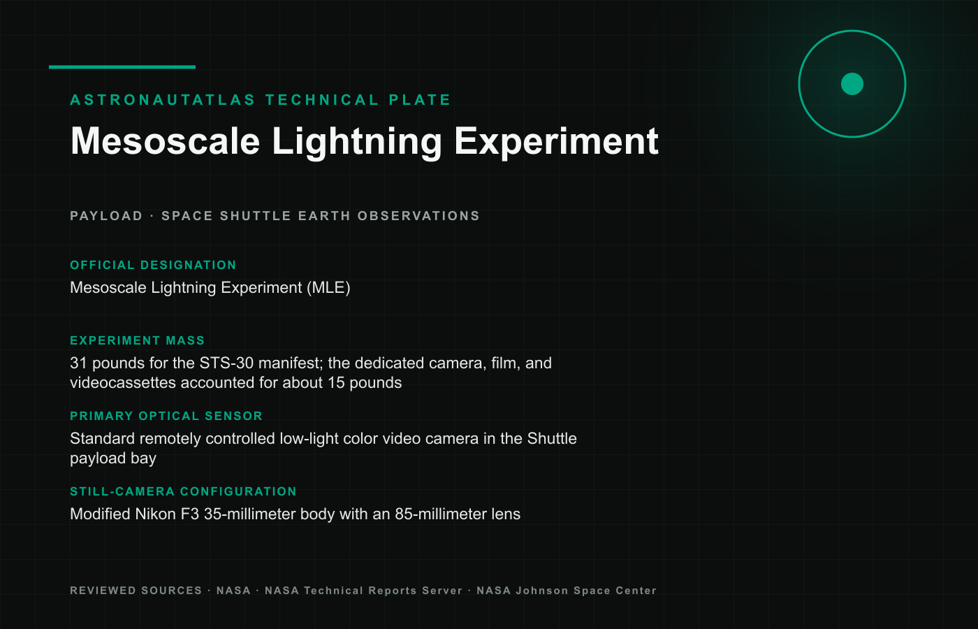
- Official designation
- Mesoscale Lightning Experiment (MLE)
- Still-camera configuration
- Modified Nikon F3 35-millimeter body with an 85-millimeter lens
Science capability
- Film sensitivity
- ASA 400 film augmented the video observations
- Optical field of view
- Approximately 40 degrees
- Nadir coverage performance
- Roughly 200 by 150 nautical miles beneath the
Detector and optical systems
- Primary optical sensor
- Standard remotely controlled low-light color video camera in the Shuttle payload bay
- Sensor pointing operation
- Payload-bay camera remained fixed and pointed directly below the Shuttle for nadir observations
Mechanical and electrical
- Experiment mass
- 31 pounds for the STS-30 manifest; the dedicated camera, film, and videocassettes accounted for about 15 pounds
Installation and operations
- Flight operation and result
- Nighttime Shuttle video recorded mesoscale storm complexes and the first orbital images of upward stratospheric lightning discharges
Additional specifications
- Time-tagging method
- Camera data back automatically marked every still frame with Greenwich Mean Time
- Crew observation mode
- Astronauts also photographed oblique storm systems near cooperating ground lightning networks
- Image measurement outputs
- Analysts extracted lightning-flash frequency, apparent size, and brightness
- Correlative measurement network
- Imagery was compared with ground lightning detection, radar, precipitation, and meteorological observations
- Instrument-development role
- Orbital images supplied design evidence for later specialized global optical lightning mappers
Supported mission records
Missions that carried, used, tested, serviced, or depended on this hardware.
Photo Archive
Documented views of this individual vehicle, with source and credit retained alongside each image.