
AstronautAtlas
Learn the story of spaceflightLoading AstronautAtlas records
AstronautAtlas
Learn the story of spaceflightLoading AstronautAtlas records
Space programs and missions · A guided course
Radar observations for a changing Earth
Learn how Canada’s radar missions connect ice, ocean and land measurements to interpretable, timely information.
Suggested preparation is listed in the course · Start whenever you’re ready
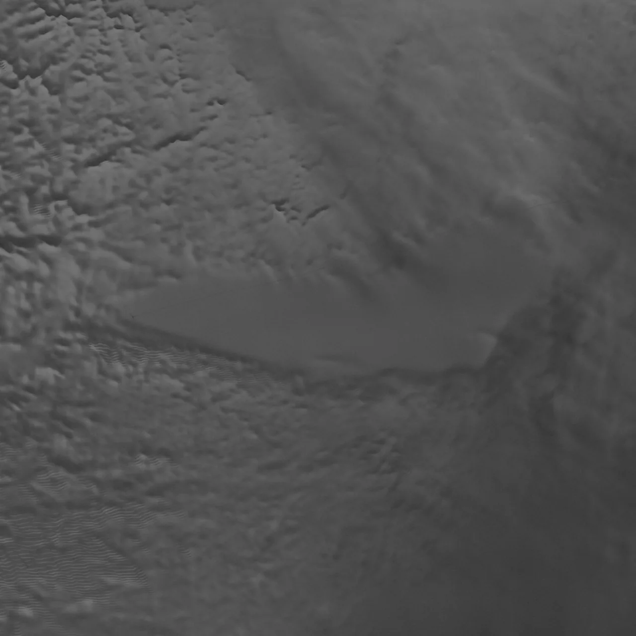
Lake Vostok's ice surface in a NASA visualization of RADARSAT-1 synthetic-aperture-radar observations acquired in 1997. Display image resized and compressed.
NASA/Goddard Space Flight Center Scientific Visualization Studio; Canadian Space Agency; RADARSAT International Inc. · Image sourceYour place in the bigger picture
Build on familiar ideas, then choose a direction to explore next. Every course remains open.
From an orbiting instrument to a useful service
Turn patterns of light into evidence about places we cannot touch.
RADARSAT
Radar observations for a changing Earth
Start whenever you’re ready. Preparation is suggested, and every course stays open.
Three satellites, carefully interpreted evidence
One suggested order from the foundations to RADARSAT. Shared starting points appear once; skip anything you already know.
Then: RADARSAT →
— earned
Earn each reward once. Retries never cost points.
Loading saved points… View your learning awards →
Each lesson builds on the last. Read the story, explore the sources, and check your understanding.
0 of 4 lessons complete
No account is needed to learn. Your correct answers keep their earned rewards.
From the learning community
What worked for you? Help the next learner choose where to begin.
Loading reviews…
Sign in to review this course. Complete a lesson check and save it to your account first.
Languages are chosen by reviewers. Ratings above include all languages.